
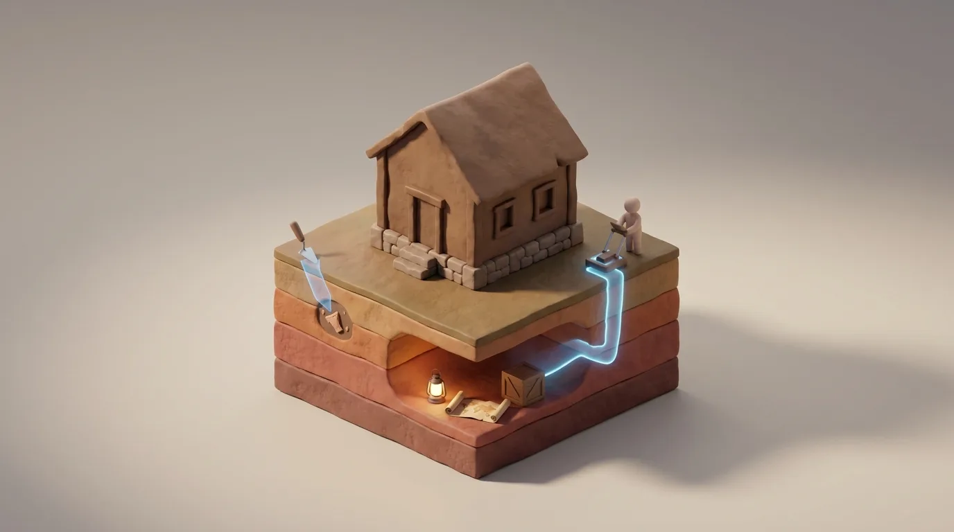
Without physical evidence, the true scope of the Underground Railroad risks becoming legend rather than documented history. The system left no trace by design, using codes and verbal cues to protect those seeking freedom and those assisting them. Today, underground railroad archaeology serves as the main tool for verifying these stories, turning local tales into scientific facts. Identifying these sites differs from typical field work because most digs target permanent settlements with deep foundations. This field focuses on the hidden and the temporary, requiring a mindset that looks for what is missing as much as what remains. By checking the terrain for small shifts in soil and household markers, researchers rebuild a resistance network that was never meant to be mapped.
As we study how these sites come to light, we move beyond the search for tunnels or secret rooms. We look at the paths of human movement and the physical marks left in the dirt. This process allows us to measure the scale of the movement and understand the real challenges of escaping slavery in the 19th century. By looking at these physical signatures, we can see the logic behind a system built to stay invisible.
The Challenge of Identifying Sites Built for Secrecy
The main hurdle in underground railroad archaeology is that the system relied on a lack of records. In the 1800s, writing was a danger; a list of names or a map of safe houses acted as a confession of illegal activity. Standard archives often contain a gap where the most active parts of the network should be. When records do exist, they often use coded language to hide the true nature of a place. This intentional silence makes the physical dirt the most reliable witness we have left.
A large gap exists between family stories and physical proof. Many families share stories of ancestors who hid freedom seekers, yet without soil evidence, these stories cannot receive official status. Misinformation served as a tool for protection at the time, but now that same tool makes it hard for researchers to tell a real refuge from a site where a legend grew over time. This makes the verification process vital for non-invasive techniques that protect historical sites while proving their past. Because the network relied on speed, the physical trace of a refuge is often very thin. A site might have held a group for only a few days before they moved on, leaving behind almost nothing for a traditional researcher to find.
Standard methods might dismiss such a site as a temporary camp or a natural clearing. Within the context of resistance, however, these gaps in the record are exactly what experts look for. Finding a spot where people should not have been is often the first step in proving a safe house existed. We look for the absence of typical patterns to find the presence of those who had to stay hidden.
Detecting the Invisible Footprint in the Soil
Most projects rely on finding large walls or foundations, but this work often hinges on what experts call invisible archaeology. This involves finding small changes in the dirt that suggest human activity where none should be. For example, soil might be tighter in one corner of a cellar, suggesting a hidden crawlspace that people used often, even if no door remains today. These small clues tell a story that the wood and stone have long since lost.
Detecting soil shifts is a specialized skill that requires looking for midden soil, which looks darker and feels oilier because of organic waste. In a remote forest, a patch of this soil can signal a short-term stay that contradicts the official history of the land. These spots act as markers for events that were never written down, allowing us to see human activity through changes in the earth itself. The dirt holds the memories that people were too afraid to put on paper.
Architectural secrets offer another clue for researchers. We check floorboards for odd wear patterns or building styles that do not match the rest of the house. In many safe houses, people built hidden rooms using structural engineering methods from the 19th century to avoid being seen. When a wall looks thicker than it should be, or a chimney has a hollow center, the house itself becomes a document. These physical traits show how much effort went into staying safe and hidden from the law.
Artifact Analysis of Domestic and Wild Spaces
The items found at these sites are often simple, but their location provides the breakthrough. Household trash like ceramic bits, buttons, or pipe stems found in deep woods or swamps can point to a hidden refuge. These items suggest that people were living and eating in areas that were otherwise considered empty or impossible to stay in. Finding these pieces in the wild changes how we view the map of the region.
- Home Markers: Finding pottery in a remote clearing suggests people brought comforts from home into a survival path.
- Personal Items: Small things like lost coins or glass beads show movement through a space. Since freedom seekers traveled light, every dropped item is a major clue.
- Short-term Stays: Unlike a farm that leaves piles of trash over years, these sites show small clusters of items from a one-time use.
Telling the difference between a permanent home and a stop on the road requires a close look at how many items are found. A large mix of items usually points to a house, while a small range of items related to food and heat signals a transit point. These clues show how physical evidence corrects common myths by providing a real timeline of how a site functioned. Science replaces guesswork with proof of how people actually survived the journey.
Remote Sensing and Non-Invasive Mapping Tools
To find these sites without breaking the fragile evidence, researchers use tools that see through the ground. Ground Penetrating Radar (GPR) is helpful for finding buried walls or wells without digging. By sending pulses into the dirt and reading the echoes, experts create a digital map of what lies below. This technology allows us to see the footprint of a cellar that disappeared a century ago without ever turning a shovel of dirt.
LiDAR is another tool that has changed the field by using lasers from planes to see through thick trees. It reveals the shape of the ground, helping find paths through swamps or woods that freedom seekers used to avoid roads. Mapping these paths helps researchers find campsites or river crossings that do not show up on current maps. These paths were chosen for their difficulty, and LiDAR helps us understand exactly why they were picked for safety.
These tools are vital because they keep the site safe. Once a site is dug up, the context is gone forever, so remote sensing lets us gather data while keeping the record intact. This approach is now the standard for mapping sites in partnership with groups like the University of Maryland and the National Forest Service. By using light and sound, we can respect the history while we uncover its secrets.
The Link Between Bioarchaeology and Oral History
New methods in bioarchaeology provide even more detail. Pollen analysis allows researchers to identify the plants that grew at a site when it was in use. A sudden change in pollen, such as crops appearing in a forest, can show that a hidden group was farming to feed itself. This plant-based evidence can confirm oral stories of communities that lived in hiding for years. It turns a family story about a hidden garden into a botanical fact.
Advanced DNA analysis also plays a role in modern research. Soil DNA can sometimes be pulled from the dirt at suspected sites to identify the origins of people who passed through. When researchers find this biological data and match it with family interviews, they create a strong case for how a site was used. This mix of hard science and memory is the best way to verify a location. When a soil test matches a local story of a fire or a move, the two records lock together.
This link creates a level of certainty that stories or dirt alone could not provide. It gives a voice to people who were forced to remain silent for their own safety. By looking at the microscopic level, we find the proof of human lives that were nearly erased from the books. Underground railroad archaeology ensures these lives are finally recognized in the present day.
Securing the Legacy of Resistance through Preservation
Once a site is proven through underground railroad archaeology, the focus turns to legal protection. Official status is key because it brings funding and keeps the land from being cleared for buildings. The National Park Service manages programs to coordinate the care of these sites across the country. This ensures that a spot in the woods is treated with the same respect as a famous battlefield or monument.
Proof turns a local legend into a landmark that the law must protect. For many towns, this work is an act of justice that ensures the bravery of African Americans is seen as a high-stakes operation. Official status through the National Underground Railroad Freedom Center helps keep this history alive for the future. It moves the story from the shadows into the public eye where it belongs.
Preserving these sites is an ethical duty. They represent both the pain of the past and the strength of those who fought for a better life. By saving these places, we keep the physical record of the fight for freedom open for everyone to see. The systems we use to find these sites match the Railroad itself: they are quiet, layered, and require a deep trust in the clues left behind. As our tools improve, the map of the resistance will become clearer, showing us that even the most secret history leaves a mark.