
For centuries, archaeology required the slow, permanent destruction of a site to reveal its secrets. To understand what lay beneath the soil, researchers had to remove it. This process effectively destroyed the context of the find while searching for the objects themselves. Modern non-invasive archaeology now allows us to see through the earth without breaking the ground. This shift changes how we interact with the remnants of the past.
This change happens because we realize history is a finite resource. When researchers dig a trench, they tear a page from a book they can never replace. By using sensors, lasers, and computer power, experts now dig digitally. This preserves the physical site for future generations who will have even better tools. Currently, the mix of remote sensing and artificial intelligence goes beyond simple discovery. Experts can map entire civilizations from the air and read charred papers without touching them. This rethink of historical work replaces the shovel and the sieve with data capture.
The Shift from Digging to Digital Records
Old methods naturally destroy sites. Once someone removes a layer of soil, the link between the dirt and the artifacts disappears. Only notes and photos remain. This creates a difficult choice. To study the past, we must destroy the evidence of it. This old style favored large buildings while often missing the small clues that define daily life. New methods treat the earth as a source of data rather than an obstacle. Instead of seeing a site as a place to dig, experts view it as a system of magnetic and thermal signals.
This approach focuses on keeping sites safe in their original setting. Many structures last longer when left alone. This is true for buildings with fragile parts. For example, analyzing ancient Roman concrete shows a chemical strength that relies on its specific environment. By moving toward digital records, archaeology moves from a detective model to a system management model. We no longer just look for objects. We map the links between climate, city planning, and resources. This method allows for the study of sites that are hard to reach due to war or thick plants. It ensures we record cultural history even when we cannot touch it.
LIDAR and the Search for Hidden Cities
Light Detection and Ranging (LIDAR) is the most useful tool in non-invasive archaeology today. The technology fires millions of laser pulses from a plane toward the ground. The system measures the nanoseconds it takes for the light to bounce back to create a high-quality 3D map. LIDAR can see through thick jungle leaves by filtering out pulses that hit the trees. It only keeps the signals that reach the forest floor.
The scale of recent finds is immense. In the Maya Lowlands, researchers used LIDAR to show the population may have reached 16 million people. This is a 45% increase over what experts previously thought, according to a report in Archaeology Magazine. The same technology showed that Tikal, a famous Maya city, was four times larger than maps suggested. It contained huge networks of walls and water systems that were invisible from the ground.
This move from finding single buildings to mapping regional networks has changed our view of ancient cities. Civilizations like the Maya were not groups of lonely city-states. They were connected landscapes of urban life. LIDAR allows us to find water canals and farm terraces without moving a stone. It proves these societies managed their environment long before the industrial age. The precision of these systems allows experts to find features they would miss while walking on top of them. Gaps in the ground that look natural often turn out to be man-made drains. This ability to see through noise is vital for modern site study.
Reading Artifacts with CT Scans and AI
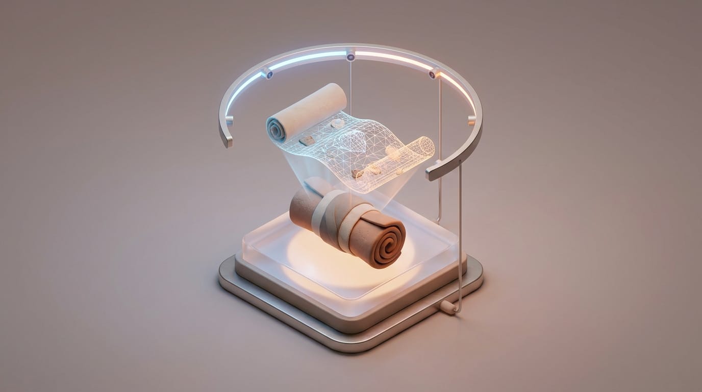
While LIDAR maps the land, X-ray computed tomography (CT) lets us see inside artifacts. This virtual digging is vital for organic remains and fragile papers that would crumble if touched. For instance, CT scans allow experts to see injuries in mummies without breaking the linen wraps. The most ambitious use of this technology involves the Herculaneum scrolls. These papers turned into fragile lumps of charcoal during the heat of a volcanic eruption long ago. They are impossible to unroll by hand.
Using high-quality X-ray scans, researchers can see the tiny difference in density between the charred paper and the ink. Recently, University of Kentucky researchers used AI to read thousands of letters from these scrolls for the first time. The logic of these scans is like medical imaging, though the power levels are higher. Just as people want to know why MRI machines are loud during medical scans, they should know that these archaeological scans use waves to tell the difference between flesh, resin, and cloth. This provides a safe way to check how someone made an object without risking its safety.
The Power of Multi-Spectral Imaging
Beyond X-rays, multi-spectral imaging helps recover lost text and paint. By catching light that the human eye cannot see, these sensors reveal hidden writing on old stone or faded ink. In Pompeii, these tools find colors in wall paintings that the sun destroyed long ago. This allows for digital copies that restore the bright look of a Roman home.
The Risk of Flattening Time in Digital Data
Despite its success, non-invasive archaeology faces a challenge called chronology compression. When an archaeologist digs a hole, they move through time. The deeper the layer, the older the evidence. However, a LIDAR scan often shows all human marks on a landscape as a single flat image. Without the physical layers of a dig, it is easy to mistake a site built over a thousand years for a single massive moment. This creates a risk of miscounting the size and population of ancient cities.
If a scan finds every house foundation, and we assume people lived in all of them at once, the population numbers will be too high. A city might look like a busy hub in a 3D model when half of those buildings were ruins by the time the others went up. This flattening of time hides the slow growth and decline of a culture. High-quality scans provide great detail, but they do not automatically provide history. Without the ground truth of digging or better timing analysis, we risk creating maps of history that do not make sense. This is a common trap where the imaging is so good that we forget it lacks the fourth dimension of time.
How AI Restores Time to Digital Maps
To solve the problem of flat time, experts use machine learning. Instead of just finding shapes, new math models learn to see the clues of time within digital data. By looking at how stone wears down and studying building styles, AI can sort digital layers back into their right eras. Machine learning models now help with layer analysis. For example, in Angkor, researchers used AI to predict the age of temples by comparing 3D data to known history. The AI detects tiny differences in stone wear that show the age of a building.
AI also helps build visual data. Similar to how diffusion and autoregression models build data by predicting missing parts of a picture, archaeological AI can predict missing points in a scanned landscape. If a scan shows half of a wall buried under a slide, a trained model can finish the section based on the logic of the rest of the wall. This allows experts to see what they have not scanned yet with high accuracy.
- Automated Sorting: AI filters huge amounts of data to separate modern roads from old structures.
- Wear Analysis: Models detect tiny differences in stone erosion to estimate age.
- Predictive Layers: Using the location of features to guess which buildings came first.
Creating a Permanent Digital Archive
The main goal of non-invasive archaeology is to create a permanent digital archive. These digital twins of history serve as insurance against destruction from war or climate change. In Syria, lasers have documented the ruins of Palmyra. This creates a plan for rebuilding that stays even if the physical stones break. This process also makes history available to everyone. Virtual museums allow students to see artifacts in high quality without shipping fragile items. This helps with the return of cultural items. If a perfect digital copy exists for study, it may be easier to return the real item to its home. However, digital ownership and how data recovery forensics works are now new challenges for the field.
Site management is also changing. By comparing scans taken years apart, experts can monitor how fast a site decays or how tourists impact the ground. This allows for care before a problem starts. We are moving toward a system where we monitor the health of a monument in real time. Non-invasive methods have turned the world into a massive library. By moving from digging to scanning, we preserve the raw data of the earth for the future. As sensors improve and AI models get better at telling time, the need for the shovel will fade. The soil will stay quiet and history will stay whole.
The rise of non-invasive archaeology ends the era where finding things meant breaking them. We have learned that the systems our ancestors built were more complex than we thought. By choosing to scan rather than dig, we respect the past while using the best tools of the present. The power of these tools lies in our ability to listen to the signals in the earth without drowning them out. We must now wonder how future experts will scan our own digital archives and if they will find our data as hard to read as we find old ruins.